
San Mateo Transit-Oriented Pedestrian Access Plan
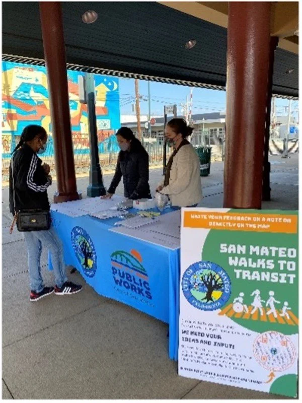
Urban Planning Partners served as a subconsultant to the Fehr & Peers team to lead the community engagement efforts for the San Mateo Transit-Oriented Pedestrian Access Plan (branded “San Mateo Walks to Transit”). Engagement methods included virtual focus groups, social media posts, email blasts, and phone calls, and in-person pop-up events. To complement both the in-person and focus group engagement activities, Social Pinpoint, a mapping and engagement web platform, was used to develop an interactive mapping tool to collect feedback on pedestrian issues, key pedestrian routes, and other general comments about walking in the study area. The online survey and map platform were publicized at all engagement events, in addition to QR code sidewalk decals placed at each Caltrain station within the study area (Hillsdale, Hayward Park, and Downtown San Mateo) and three SamTrans bus stops (El Camino Real and 17th Avenue and San Mateo Drive and 2nd Avenue).